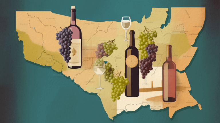
Below are several California wine country maps we created using Google My Maps. Wine country maps include Napa Valley, Sonoma Valley, Alexander Valley, Lodi, Paso Robles, and Sacramento. These maps help you explore various wines, tasting experiences, and tours in renowned cellars and vineyards.
Google My Maps is available to both consumer Gmail accounts and Google Workspace users.
Google My Maps allows for mass importing winery locations from a spreadsheet. My Maps also allows for manually adding each winery, including details about their wine production, vintners, and appellations.
When locations on a Google My Map are imported from a spreadsheet, there is no link to standard Google Maps available. However, when a winery is manually added, there is a link from the winery location to Google Maps.
Napa Valley
This map was created from a spreadsheet downloaded from the Napa Wine Project website.
Any wineries without a physical address or a P.O. box have been excluded. A number of outliers outside of Napa Valley and its immediate vicinity have also been excluded. The map is color-coded by city/town.
Click on a wine glass to see detail about the winery, including a link to the winery’s website. You can also find out whether the winery has a cave and information about their tasting tours.
Because the wineries were imported into this My Map, no Google Maps links exist.
View the map in a separate tab for higher resolution and the relative distances from Oakland, San Francisco, and Sacramento airports.
Sonoma Valley
Sonoma Valley, a.k.a. Valley of the Moon, is regarded as the birthplace of the California wine industry. It is the closest collection of wineries to San Francisco.
Sonoma Valley has five different growing regions or American Viticultural Areas (AVAs). They are Los Carneros, Sonoma Valley, Sonoma Mountain, Moon Mountain, and Bennett Valley.
If you click on a wine glass, a Google Maps panel will slide out. In the Google Maps panel, click the “View in Google Maps” link to read reviews, see pictures and get directions for your wine-tasting and cellar tours.
View the map in a separate tab for higher resolution and the relative distances from Oakland, San Francisco, Santa Rosa, and Sacramento airports.
Alexander Valley
Alexander Valley is an AVA in Sonoma County. The Russian River flows through the valley.
Click on a wine glass for detail about the winery. The left-hand sliding panel will display links to the winery’s website, to Google Maps, and a collection of up to ten winery photos showcasing their production facilities and vintners at work.
View the map in a separate tab for higher resolution and the relative distances from Santa Rosa, Oakland, and San Francisco airports.
Lodi
The Lodi AVA is located in the Central Valley of California, north of Stockton and south of Sacramento. This map has almost 70 reasons to get “stuck in Lodi again” while exploring the wine-tasting tours and cellars — and meeting the vintners who create memorable wines.
Click on a wine glass to learn more about a winery and to see Google My Business ratings and reviews.
View the map in a separate tab for higher resolution and the relative distances from Sacramento, Oakland, and San Francisco airports.
Paso Robles
These wineries were found on a Paso Robles Wine Country site. Because the wineries were imported into this My Map, there’s no Google Maps link.
Sacramento
While not a large growing region, Sacramento has a few gems to explore and learn more about wine production and local appellations.
Frequently Asked Questions About California Wine
In 1769, Spanish missionaries planted the first vineyards at Mission San Diego de Alcalá. Wine grapes made their way north when the Sonoma Mission was founded in 1823.
The wine-growing regions in California are Southern California, Central Coast, North Coast, Inland Valleys, Sierra Foothills, and Far North.
Cabernet Sauvignon, Pinot Noir, Zinfandel, Merlot, and Syrah are the most widely planted red wine varieties. In 2020, Cabernet Sauvignon accounted for over one-third of the red wine grape acreage in California.
Chardonnay, French Colombard, Pinot Gris, Sauvignon Blanc, and Chenin Blanc are the most popular white wine varieties in California. In 2020, Chardonnay accounted for over half of the white wine grape acreage in California.